


Local historian Martyn Taylor explains how the Grindle area of Bury St Edmunds may have got its name

The Grindle is an area of Bury St Edmunds just off Beech Rise/Southgate Street. There are different theories as to why it was called this.
That fine cartographer of Bury, Thomas Warren, shows on his map of 1747 the Grindle linking from near the South Gate through to York Bridge and Fryers (Friars) Lane. Could this have been part of the town’s medieval defences protecting the Southgate suburb? After all, a mound that once formed part of the Grindle would have made a good fortified position.
Was it possible that Grindle derived its name from the word Grinn meaning fortress? According to the Oxford dictionary of Place Names, Grindle also means green hill.
The antiquarian Edmund Gillingwater in his 1804 book, An Historical Descriptive Account of the Ancient Town of St Edmundsbury, has the Grindle as a 'place of security for cattle and other necessaries'. This was in the days when Bury was thought to have its origins as the site of a Roman settlement, the Villa Faustini. We now know this is not the case. Apart from a few shards of pottery thought to be Roman found in the building of the residential home at 11 Cullum Road and a small development at Plumptons Yard, St Andrews Street South, there is no evidence of Roman occupation in Bury.
During the period 1863-67 local renowned archaeologist Henry Trigg carried out investigations in the form of a dig in what was known as Grindle Pit. Here he found Palaeolithic (stone age) flint tools, especially pear-shaped flint axes from the Acheulian period (named after the French town of Saint-Achul).
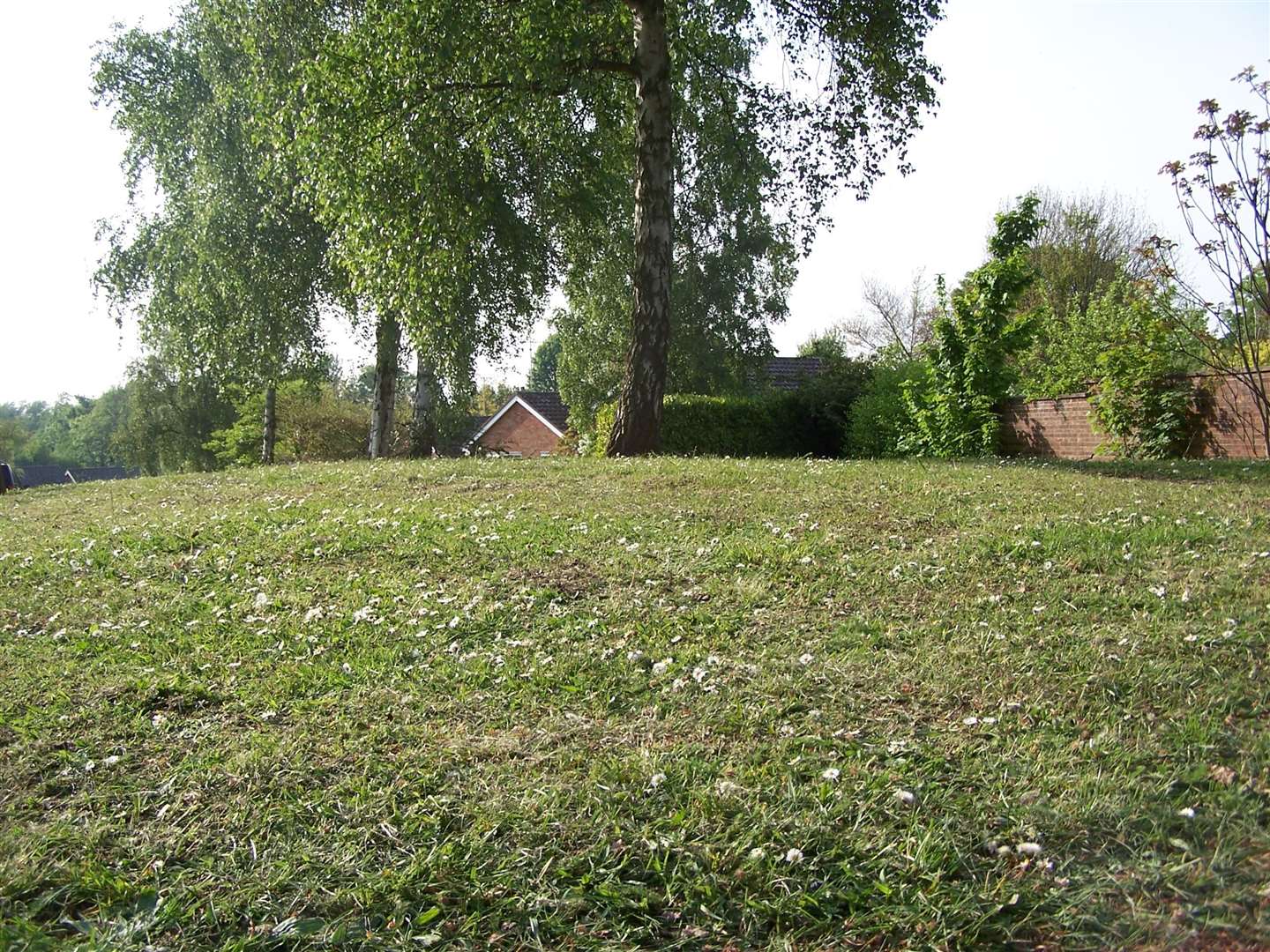
The mound shown in this photograph is not as described above but is probably spoil from the development of properties built there; but is an interesting comparison.
Another archaeological dig was carried out in 1962 by volunteers at the Grindle under the guidance of Moyse's Hall – nothing was found, disproving the ancient theories put forward by Gillingwater. A mixture of houses and bungalows built soon after is appropriately known as Grindle Gardens.

An area nearby known as Grindle Paddocks is set aside as a nature reserve, a leftover from the Redrow Homes' development of the former Watsons Timber yard off Southgate Street. The Paddocks has watercourses running through it, straddled by York Bridge; some of the more diverse inhabitants are crested newts and water voles.
Martyn Taylor is a local historian, author and Bury Tour Guide. His latest book, Going Underground: Bury St Edmunds, is widely available.